|
by rogerdodger
[January 10, 2026, 02:40:04 PM]
by rogerdodger
[January 02, 2026, 07:24:34 PM]
by snopro
[December 31, 2025, 07:06:54 AM]
by Drifter2007
[December 16, 2025, 09:20:22 PM]
by Crabman
[December 14, 2025, 12:08:42 PM]
by alpalmer
[December 13, 2025, 09:52:11 AM]
by Mojo Jojo
[December 10, 2025, 06:32:21 PM]
by SD2OR
[December 07, 2025, 03:07:25 PM]
by SD2OR
[December 07, 2025, 10:07:13 AM]
by C_Run
[November 29, 2025, 05:43:54 AM]
by elstunar
[November 27, 2025, 07:46:39 PM]
by Matt M
[November 24, 2025, 07:28:35 AM]
by SD2OR
[October 31, 2025, 03:49:10 PM]
by Captain Doko
[October 24, 2025, 06:43:12 PM]
by Shin09
[October 14, 2025, 10:14:18 AM]
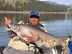
 Guess who's back? jed with a spring Big Mack |


 Welcome, Guest. Please
  January 11, 2026, 01:38:48 PM